


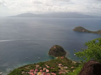
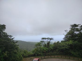
3.3 km | 5.5 km-effort
Unknown: Discover the best trails: 980 hiking trails, 27 bike and mountain-bike routes and 2 equestrian circuits. All these trails, routes and outdoor activities are available in our SityTrail applications for smartphones and tablets.

Walking


Nordic walking
Other activity
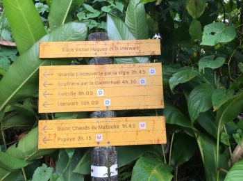
• Poteaux armistices l'échelle trace des guides carmichael matouba
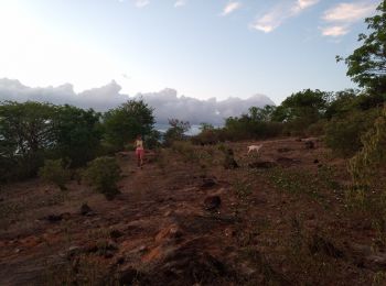
Walking
Walking

Walking
Walking
Walking
Walking
Walking
Walking
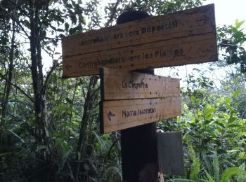
On foot
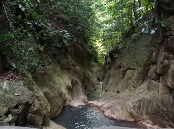
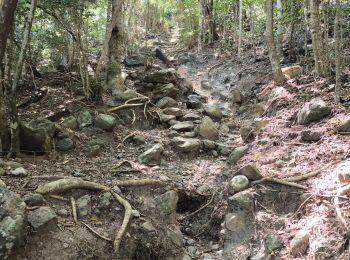
• Trail created by Parc National de la Guadeloupe. Website: http://www.randoguadeloupe.gp/pedestre/sentier-de-la-poi...
On foot
• Trail created by Parc national de la Guadeloupe. Website: http://www.randoguadeloupe.gp/pedestre/trace-des-ruisseaux/

Walking
•
Trail
Walking
Walking
Walking

Walking
Walking
20 trails displayed on 1056
FREE GPS app for hiking
 SityTrail
IGN / Geographical institutes
SityTrail World
The world is yours!