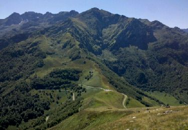
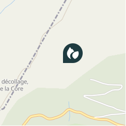
Point of interest Sentenac-d'Oust - 05 - comment se calcule une pente : - Photo

05 - comment se calcule une pente :

Description

Photos

05 - comment se calcule une pente : can be discovered in the following trails...
Trail Walking Bethmale - Pyrénées-140903 - CapBouirex - Photo
Walking
randodan

Walking

Difficult
Bethmale, Occitania, Ariège, France
4.8 km | 10.9 km-effort
5h 15min
Yes
 randodan
randodan

User

© OpenStreetMap contributors

Positioning

Country:
France
Region :
Occitania
Department/Province :
Ariège
Municipality :
Sentenac-d'Oust
Location:
Unknown
Creation date :
2018-04-11 02:19:38.967
Updated on
2018-04-11 02:19:38.967

(0 Reviews)

Directional info


Close
My subscriptions