


Dent de retz VTT

Gouze13
User

Length
15.5 km

Max alt
709 m

Uphill gradient
495 m
Km-Effort
22 km

Min alt
355 m

Downhill gradient
492 m
Boucle
Yes
Creation date :
2018-08-30 17:10:44.449
Updated on :
2018-09-13 15:31:12.691
1h50
Difficulty : Medium

FREE GPS app for hiking
 SityTrail
IGN / Geographical institutes
SityTrail Plus
The world is yours!
About
Trail Mountain bike of 15.5 km to be discovered at Auvergne-Rhône-Alpes, Ardèche, Gras. This trail is proposed by Gouze13.
Description
poussage sur une trentaine de mètres à la descente pour passer la barre permettant de rejoindre le col d'Eyrolle.
Sinon, pas de difficultés.
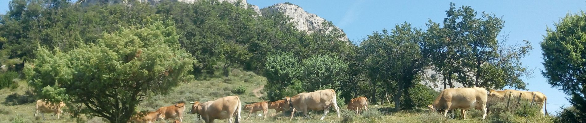
Photos

Positioning
Country:
France
Region :
Auvergne-Rhône-Alpes
Department/Province :
Ardèche
Municipality :
Gras
Location:
Unknown
Start:(Dec)
Start:(UTM)
621101 ; 4919739 (31T) N.
Comments