


lac des tempêtes

franquen
User

Length
10.4 km

Max alt
2094 m

Uphill gradient
861 m
Km-Effort
22 km

Min alt
1216 m

Downhill gradient
899 m
Boucle
Yes
Creation date :
2019-01-15 12:43:26.561
Updated on :
2019-01-15 12:43:26.561
4h19
Difficulty : Difficult

FREE GPS app for hiking
 SityTrail
IGN / Geographical institutes
SityTrail Plus
The world is yours!
About
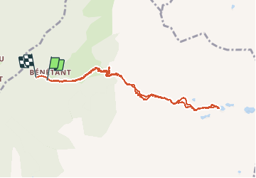
Trail Walking of 10.4 km to be discovered at Auvergne-Rhône-Alpes, Savoy, Cevins. This trail is proposed by franquen.
Description
départ de Bénetant, la montée est raide avec 4 passages difficiles (câbles de rampe et roche glissante).
belle végétation et lacs magnifiques.
Positioning
Country:
France
Region :
Auvergne-Rhône-Alpes
Department/Province :
Savoy
Municipality :
Cevins
Location:
Unknown
Start:(Dec)
Start:(UTM)
304558 ; 5055579 (32T) N.
Comments