


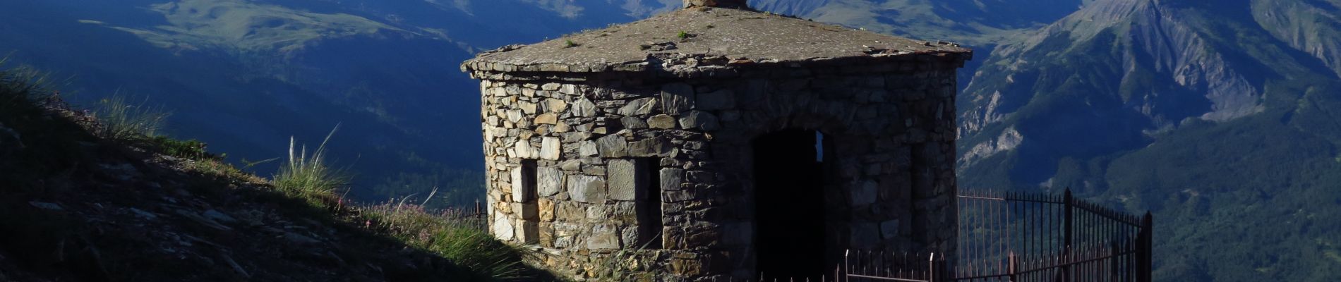
Tête de cuguret

Gouze13
User


Length
8.6 km

Max alt
2863 m

Uphill gradient
1056 m
Km-Effort
23 km

Min alt
1809 m

Downhill gradient
1058 m
Boucle
Yes
Creation date :
2018-08-30 17:10:44.072
Updated on :
2018-09-05 17:25:58.632
4h21
Difficulty : Unknown

FREE GPS app for hiking
 SityTrail
IGN / Geographical institutes
SityTrail Plus
The world is yours!
About
Trail Walking of 8.6 km to be discovered at Provence-Alpes-Côte d'Azur, Alpes-de-Haute-Provence, Jausiers. This trail is proposed by Gouze13.
Description
17/07/2018 3h30
Photos

Positioning
Country:
France
Region :
Provence-Alpes-Côte d'Azur
Department/Province :
Alpes-de-Haute-Provence
Municipality :
Jausiers
Location:
Unknown
Start:(Dec)
Start:(UTM)
321125 ; 4921471 (32T) N.
Comments