


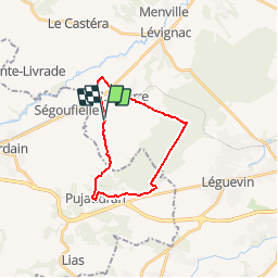

9.7 km | 12.4 km-effort

User


FREE GPS app for hiking
 SityTrail
IGN / Geographical institutes
SityTrail World
The world is yours!
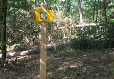
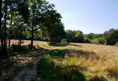
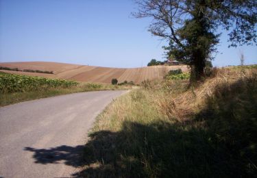
Trail Walking of 20 km to be discovered at Occitania, Haute-Garonne, Mérenvielle. This trail is proposed by tracegps.
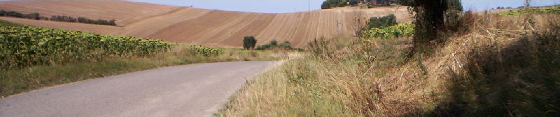
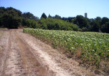
Une autre façon de se rendre en Forêt de Bouconne, la plus vaste étendue boisée de la Haute-Garonne. On y passe, on y flane, mais les routes et chemins nous attendent !


On foot

Running
Walking

Walking
Running

Walking

Walking
Walking
Running