


Jénabran la Samblue

rigol05
User
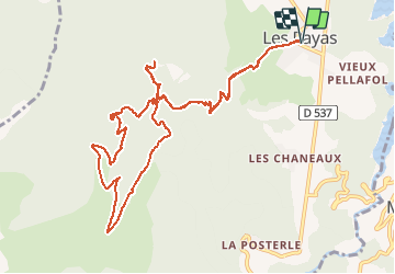

Length
13.6 km

Max alt
1703 m

Uphill gradient
1047 m
Km-Effort
28 km

Min alt
925 m

Downhill gradient
1047 m
Boucle
Yes
Creation date :
2018-08-01 10:11:45.17
Updated on :
2018-08-01 10:11:45.179
5h36
Difficulty : Difficult

FREE GPS app for hiking
 SityTrail
IGN / Geographical institutes
SityTrail Plus
The world is yours!
About
Trail Walking of 13.6 km to be discovered at Auvergne-Rhône-Alpes, Isère, Pellafol. This trail is proposed by rigol05.
Description
sortie du 19/07/2018Modification, du col de la Samblue remonter par la piste jusqu'au col des Faïsses. Le chemin emprunté n'est plus praticable.
Positioning
Country:
France
Region :
Auvergne-Rhône-Alpes
Department/Province :
Isère
Municipality :
Pellafol
Location:
Unknown
Start:(Dec)
Start:(UTM)
729929 ; 4964595 (31T) N.
Comments