


180721 aoste valnontey . ponte erfaulets A-R

stef789
User GUIDE


Length
10.4 km

Max alt
1859 m

Uphill gradient
209 m
Km-Effort
13.1 km

Min alt
1663 m

Downhill gradient
206 m
Boucle
Yes
Creation date :
2019-01-15 13:20:05.839
Updated on :
2019-01-15 13:20:05.839
3h00
Difficulty : Easy

FREE GPS app for hiking
 SityTrail
IGN / Geographical institutes
SityTrail Plus
The world is yours!
About
Trail Walking of 10.4 km to be discovered at Aosta Valley, Unknown, Cogne. This trail is proposed by stef789.
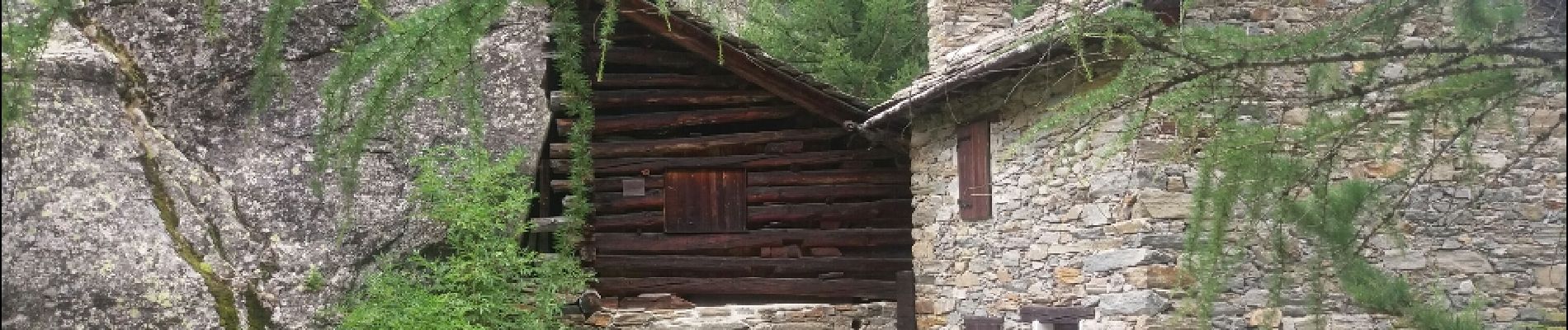
Photos


Positioning
Country:
Italy
Region :
Aosta Valley
Department/Province :
Unknown
Municipality :
Cogne
Location:
Unknown
Start:(Dec)
Start:(UTM)
370559 ; 5049470 (32T) N.
Comments