


SVG 180721

randodan
User
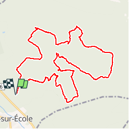

Length
13 km

Max alt
98 m

Uphill gradient
144 m
Km-Effort
14.9 km

Min alt
67 m

Downhill gradient
144 m
Boucle
Yes
Creation date :
2019-01-15 13:31:08.742
Updated on :
2019-01-15 13:31:08.742
6h05
Difficulty : Unknown

FREE GPS app for hiking
 SityTrail
IGN / Geographical institutes
SityTrail Plus
The world is yours!
About
Trail Walking of 13 km to be discovered at Ile-de-France, Seine-et-Marne, Noisy-sur-École. This trail is proposed by randodan.
Description
svg
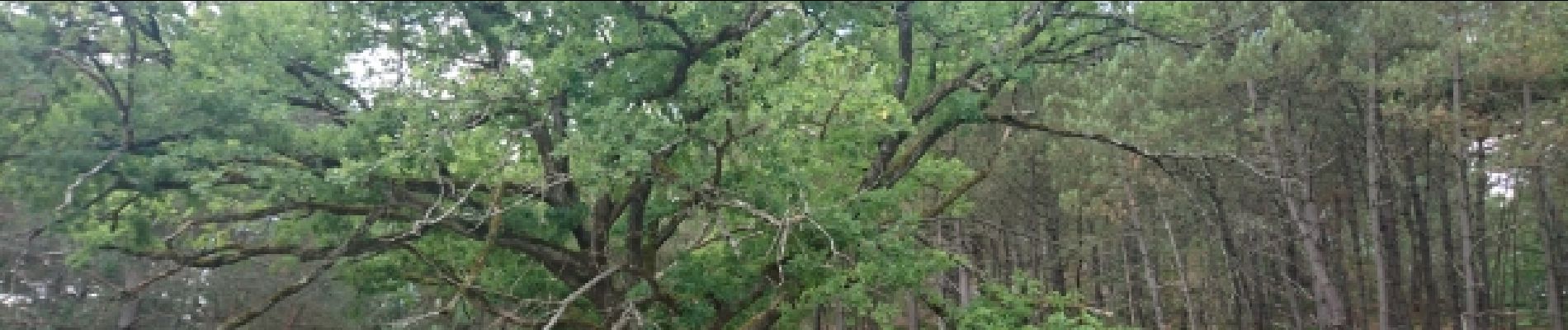
Photos


Positioning
Country:
France
Region :
Ile-de-France
Department/Province :
Seine-et-Marne
Municipality :
Noisy-sur-École
Location:
Unknown
Start:(Dec)
Start:(UTM)
463775 ; 5357884 (31U) N.
Comments