


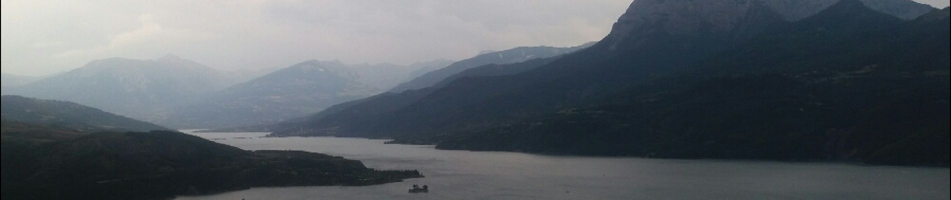
serré poncon : baie st Michel. chanteloube . curatyes . baie

stef789
User GUIDE


Length
8.8 km

Max alt
958 m

Uphill gradient
294 m
Km-Effort
12.7 km

Min alt
784 m

Downhill gradient
291 m
Boucle
Yes
Creation date :
2019-01-15 13:56:32.074
Updated on :
2019-01-15 13:56:32.074
2h20
Difficulty : Easy

FREE GPS app for hiking
 SityTrail
IGN / Geographical institutes
SityTrail Plus
The world is yours!
About
Trail Walking of 8.8 km to be discovered at Provence-Alpes-Côte d'Azur, Hautes-Alpes, Chorges. This trail is proposed by stef789.
Photos


Positioning
Country:
France
Region :
Provence-Alpes-Côte d'Azur
Department/Province :
Hautes-Alpes
Municipality :
Chorges
Location:
Unknown
Start:(Dec)
Start:(UTM)
287500 ; 4933577 (32T) N.
Comments