


Toussuire - 3 croix

jeanboulay
User
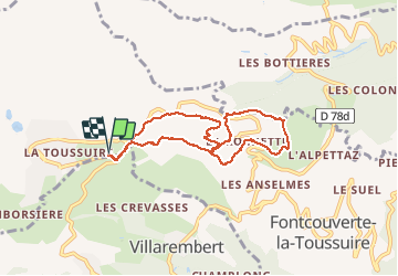

Length
7.8 km

Max alt
1674 m

Uphill gradient
397 m
Km-Effort
13.1 km

Min alt
1395 m

Downhill gradient
396 m
Boucle
Yes
Creation date :
2019-01-15 14:03:18.761
Updated on :
2020-07-31 13:42:25.045
3h55
Difficulty : Medium

FREE GPS app for hiking
 SityTrail
IGN / Geographical institutes
SityTrail Plus
The world is yours!
About
Trail Walking of 7.8 km to be discovered at Auvergne-Rhône-Alpes, Savoy, Fontcouverte-la-Toussuire. This trail is proposed by jeanboulay.
Description
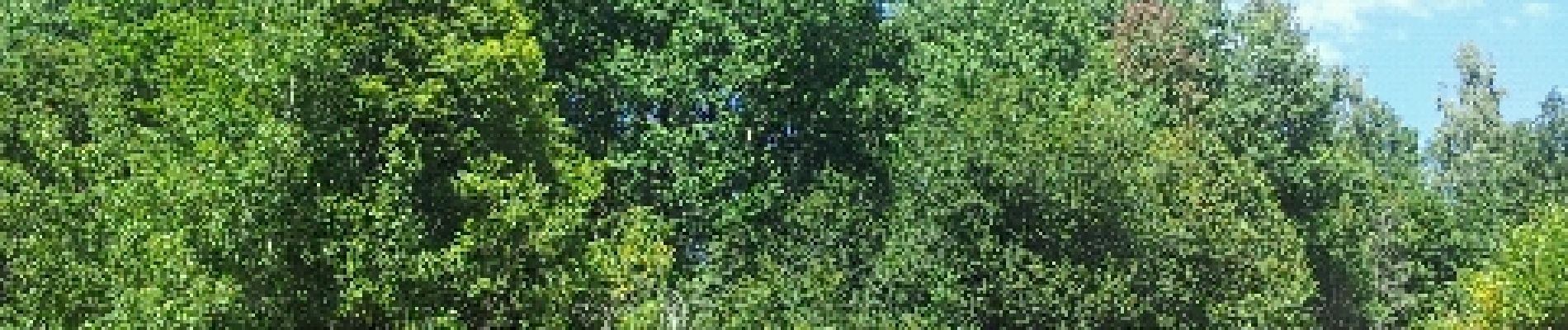
Attention, très peu d''ombre, à part quelques arbres occasionnels...
Photos


Positioning
Country:
France
Region :
Auvergne-Rhône-Alpes
Department/Province :
Savoy
Municipality :
Fontcouverte-la-Toussuire
Location:
Unknown
Start:(Dec)
Start:(UTM)
285728 ; 5014969 (32T) N.
Comments