Sans titre

Gegetop
User
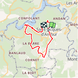

Length
12.8 km

Max alt
740 m

Uphill gradient
332 m
Km-Effort
17.2 km

Min alt
514 m

Downhill gradient
332 m
Boucle
Yes
Creation date :
2018-08-20 07:44:01.576
Updated on :
2018-09-20 07:33:58.662
3h39
Difficulty : Medium

FREE GPS app for hiking
 SityTrail
IGN / Geographical institutes
SityTrail Plus
The world is yours!
About
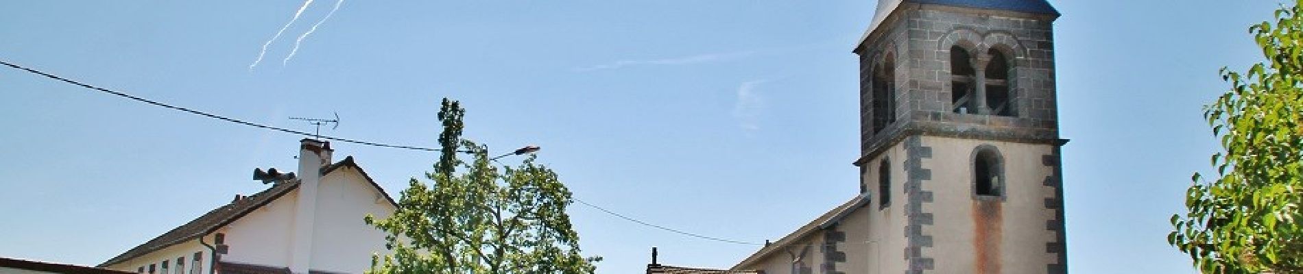
Trail Walking of 12.8 km to be discovered at Auvergne-Rhône-Alpes, Puy-de-Dôme. This trail is proposed by Gegetop.
Photos


Positioning
Country:
France
Region :
Auvergne-Rhône-Alpes
Department/Province :
Puy-de-Dôme
Municipality :
SAINT-JACQUES-D'AMBUR
Location:
Unknown
Start:(Dec)
Start:(UTM)
482630 ; 5083213 (31T) N.
Comments