


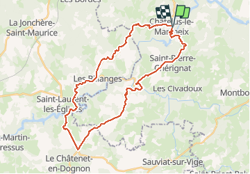
Chatelus Pont du Dognon

csy95
User

Length
36 km

Max alt
445 m

Uphill gradient
671 m
Km-Effort
45 km

Min alt
286 m

Downhill gradient
670 m
Boucle
Yes
Creation date :
2018-08-26 10:57:42.625
Updated on :
2018-08-26 10:57:42.625
2h52
Difficulty : Medium

FREE GPS app for hiking
 SityTrail
IGN / Geographical institutes
SityTrail Plus
The world is yours!
About
Trail Cycle of 36 km to be discovered at New Aquitaine, Creuse, Châtelus-le-Marcheix. This trail is proposed by csy95.
Positioning
Country:
France
Region :
New Aquitaine
Department/Province :
Creuse
Municipality :
Châtelus-le-Marcheix
Location:
Unknown
Start:(Dec)
Start:(UTM)
392268 ; 5094853 (31T) N.
Comments