


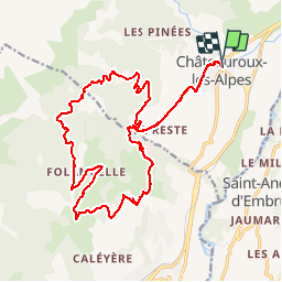
circuit N°29 Châteauroux les alpes

guariso
User

Length
23 km

Max alt
1805 m

Uphill gradient
944 m
Km-Effort
36 km

Min alt
990 m

Downhill gradient
958 m
Boucle
Yes
Creation date :
2018-09-22 21:35:54.66
Updated on :
2018-09-22 21:35:54.66
1h47
Difficulty : Medium

FREE GPS app for hiking
 SityTrail
IGN / Geographical institutes
SityTrail Plus
The world is yours!
About
Trail Mountain bike of 23 km to be discovered at Provence-Alpes-Côte d'Azur, Hautes-Alpes, Châteauroux-les-Alpes. This trail is proposed by guariso.
Description
circuit physique mais sans difficulté technique (sauf une petite montée) sinon très sympa comme circuit...
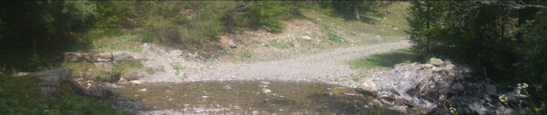
Photos


Positioning
Country:
France
Region :
Provence-Alpes-Côte d'Azur
Department/Province :
Hautes-Alpes
Municipality :
Châteauroux-les-Alpes
Location:
Unknown
Start:(Dec)
Start:(UTM)
303295 ; 4943149 (32T) N.
Comments