


butte de thil

dadodeca
User

Length
25 km

Max alt
476 m

Uphill gradient
449 m
Km-Effort
31 km

Min alt
317 m

Downhill gradient
448 m
Boucle
Yes
Creation date :
2019-01-15 14:48:31.664
Updated on :
2019-01-15 14:48:31.664
2h06
Difficulty : Medium

FREE GPS app for hiking
 SityTrail
IGN / Geographical institutes
SityTrail Plus
The world is yours!
About
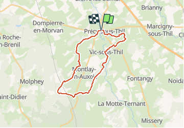
Trail Mountain bike of 25 km to be discovered at Bourgogne-Franche-Comté, Côte-d'Or, Précy-sous-Thil. This trail is proposed by dadodeca.
Description
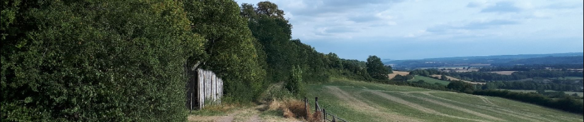
tour sur chemins roulants
Photos


Positioning
Country:
France
Region :
Bourgogne-Franche-Comté
Department/Province :
Côte-d'Or
Municipality :
Précy-sous-Thil
Location:
Unknown
Start:(Dec)
Start:(UTM)
598479 ; 5249292 (31T) N.
Comments