


La Chapelle Saint Valentin

Gegetop
User
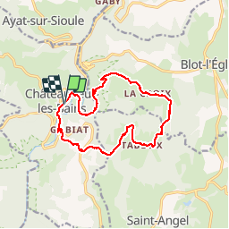

Length
14.6 km

Max alt
712 m

Uphill gradient
445 m
Km-Effort
21 km

Min alt
386 m

Downhill gradient
449 m
Boucle
Yes
Creation date :
2018-08-21 15:22:46.866
Updated on :
2018-08-21 15:22:46.866
3h48
Difficulty : Medium

FREE GPS app for hiking
 SityTrail
IGN / Geographical institutes
SityTrail Plus
The world is yours!
About
Trail Nordic walking of 14.6 km to be discovered at Auvergne-Rhône-Alpes, Puy-de-Dôme, Châteauneuf-les-Bains. This trail is proposed by Gegetop.
Description
Très agréable en toutes saisons.
A faire en marche nordique car dénivelé assez important.
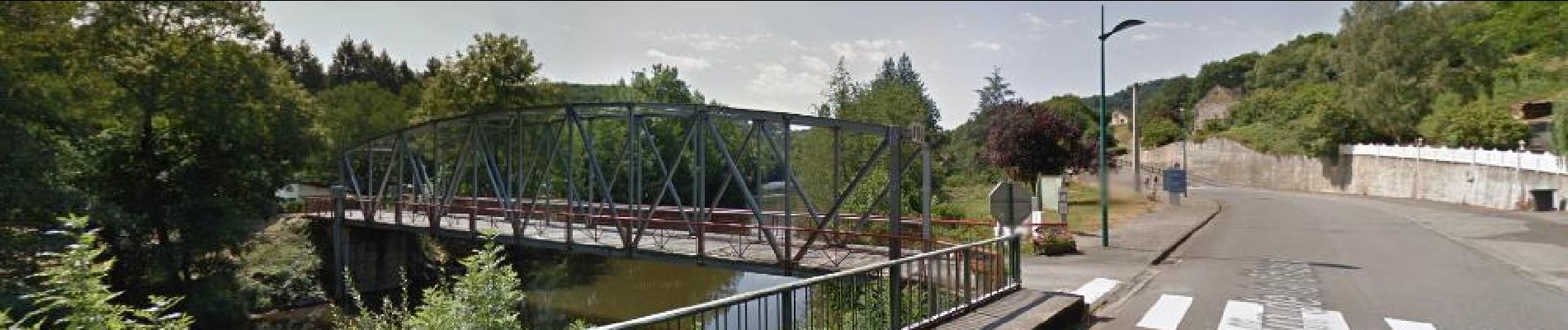
Photos


Positioning
Country:
France
Region :
Auvergne-Rhône-Alpes
Department/Province :
Puy-de-Dôme
Municipality :
Châteauneuf-les-Bains
Location:
Unknown
Start:(Dec)
Start:(UTM)
492111 ; 5097033 (31T) N.
Comments