Trail Walking Lagos - Chemin Henri IV entre D.145 et D.936 - Photo

Chemin Henri IV entre D.145 et D.936

 tracegps
tracegps

User

© OpenStreetMap contributors
Length
Length
10.2 km
Max alt
Max alt
474 m
Uphill gradient
Uphill gradient
152 m
Km-Effort
Km-Effort  
12.2 km
Min alt
Min alt
386 m
Downhill gradient
Downhill gradient
152 m
Boucle
Boucle
Yes
Creation date :
2014-12-10 00:00:00.0
Updated on :
2014-12-10 00:00:00.0

(0 Reviews)

Walking
Walking
2h15
Difficulty : Easy

Scan this QR Code to open this trail in the SityTrail application

FREE GPS app for hiking

Logo SityTrail SityTrail

IGN / Geographical institutes

Download SityTrail from the App Store Download SityTrail from Google Play

Logo SityTrail SityTrail World

The world is yours!

Download SityTrail from the App Store Download SityTrail from Google Play Download SityTrail on Huawei AppGallery

About

Trail Walking of 10.2 km to be discovered at New Aquitaine, Pyrénées-Atlantiques, Lagos. This trail is proposed by tracegps.

Description

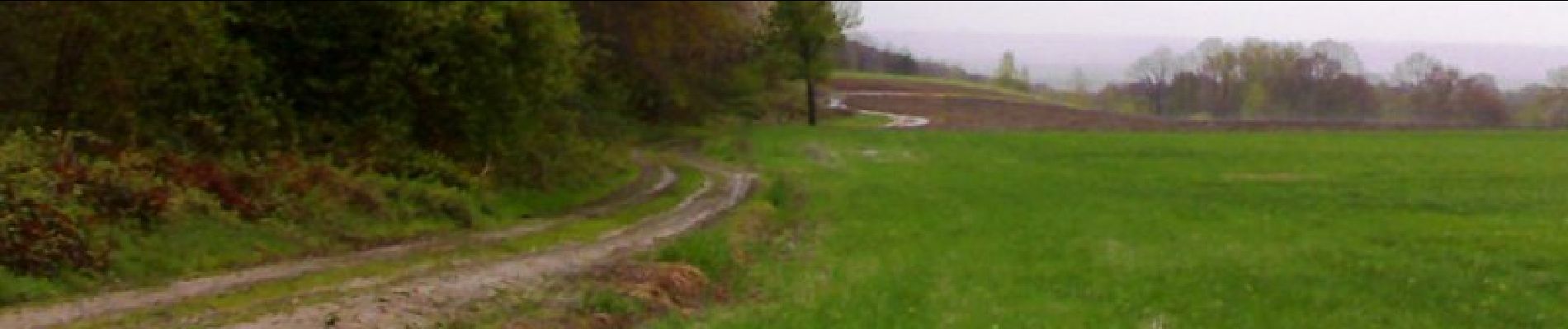
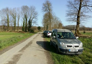
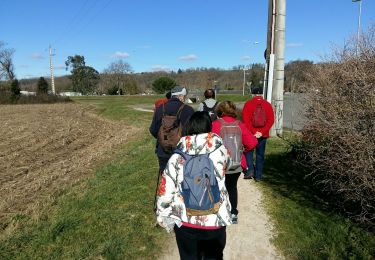
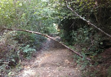
Le Chemin Henri IV emprunte les crêtes reliant le château de Franqueville (Bizanos) au lac de Lourdes sur environ 40 km dont 30 en Béarn. Les paysages rencontrés sont variés et les nombreux points hauts offrent de vastes panoramas sur la chaîne des Pyrénées, le piémont et les plaines. Ici nous proposons un tronçon boisé de 5km (10km AR) allant de la D.145 à la D.946

Elevation profile

Photos

Positioning

Country:
France
Region :
New Aquitaine
Department/Province :
Pyrénées-Atlantiques
Municipality :
Lagos
Location:
Unknown
Start:(UTM)
727728 ; 4788849 (30T) N.

Trails nearby

Trail Walking Barzun - BARZUN  Bedat et Sarrailh  RS fait - Photo
Walking
GUIDE
marmotte65

Walking

Easy
Barzun, New Aquitaine, Pyrénées-Atlantiques, France
5.1 km | 5.4 km-effort
1h 15min
Yes
Trail Mountain bike Bordères - Petite boucle rapide - Photo
Mountain bike
Doudou64800

Mountain bike

Easy
(1)
Bordères, New Aquitaine, Pyrénées-Atlantiques, France
9.4 km | 11.9 km-effort
46min
Yes
Trail Walking Livron - LIVRON RS Artigamen et le bois de chataigners
Walking
GUIDE
marmotte65

Walking

Easy
Livron, New Aquitaine, Pyrénées-Atlantiques, France
5 km | 5.7 km-effort
1h 40min
Yes
Trail On foot Espoey - ESPOEY RS  du village au pied du bois - Photo
On foot
GUIDE
marmotte65

On foot

Easy
Espoey, New Aquitaine, Pyrénées-Atlantiques, France
5.5 km | 6.2 km-effort
1h 39min
Yes
Trail Walking Nay - NAY RS la passerelle de Baburet 6eme anniversaire
Walking
GUIDE
marmotte65

Walking

Medium
Nay, New Aquitaine, Pyrénées-Atlantiques, France
5.5 km | 6.2 km-effort
1h 35min
Yes
Trail Walking Labatmale - gr782 - Photo
Walking
GUIDE
marmotte65

Walking

Medium
Labatmale, New Aquitaine, Pyrénées-Atlantiques, France
5.4 km | 6.1 km-effort
1h 28min
No
Trail Nordic walking Livron - Livron capsus Barzun plateau capbat - Photo
Nordic walking
LouisROGER

Nordic walking

Very easy
Livron, New Aquitaine, Pyrénées-Atlantiques, France
9.6 km | 11.8 km-effort
1h 53min
Yes
Trail Walking Espoey - Mairie à Mairie1 - Photo
Walking
LouisROGER

Walking

Easy
(1)
Espoey, New Aquitaine, Pyrénées-Atlantiques, France
5 km | 5.7 km-effort
1h 11min
Yes
Trail Walking Livron - sur les pas deBC 2018 - Photo
Walking
LouisROGER

Walking

Very easy
Livron, New Aquitaine, Pyrénées-Atlantiques, France
12 km | 14.2 km-effort
3h 6min
Yes


Close
My subscriptions