


Tour du Causse Méjean - Etape 7

nolsim
User
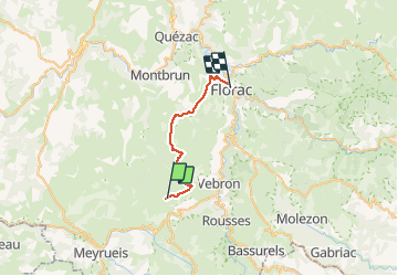

Length
24 km

Max alt
1156 m

Uphill gradient
263 m
Km-Effort
29 km

Min alt
546 m

Downhill gradient
800 m
Boucle
No
Creation date :
2019-01-15 16:02:57.708
Updated on :
2019-01-15 16:02:57.708
6h01
Difficulty : Medium

FREE GPS app for hiking
 SityTrail
IGN / Geographical institutes
SityTrail Plus
The world is yours!
About
Trail Walking of 24 km to be discovered at Occitania, Lozère, Fraissinet-de-Fourques. This trail is proposed by nolsim.
Description
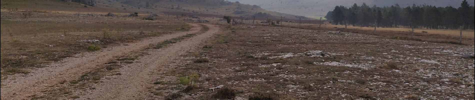
L'Hom - Florac
Belle randonnée sur le causse avec des paysages typiques.
Photos


Positioning
Country:
France
Region :
Occitania
Department/Province :
Lozère
Municipality :
Fraissinet-de-Fourques
Location:
Unknown
Start:(Dec)
Start:(UTM)
541073 ; 4897121 (31T) N.
Comments