


SVG-180910

randodan
User

Length
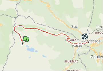
12.6 km

Max alt
1938 m

Uphill gradient
312 m
Km-Effort
19.9 km

Min alt
724 m

Downhill gradient
1239 m
Boucle
No
Creation date :
2019-01-15 16:04:57.153
Updated on :
2019-01-15 16:04:57.153
7h49
Difficulty : Unknown

FREE GPS app for hiking
 SityTrail
IGN / Geographical institutes
SityTrail Plus
The world is yours!
About
Trail Walking of 12.6 km to be discovered at Occitania, Ariège, Auzat. This trail is proposed by randodan.
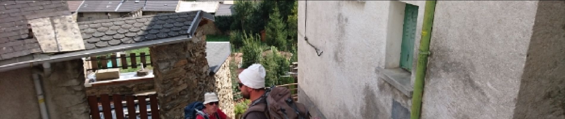
Photos


41 photos in total. Please click on a photo to see them all in the gallery.
Positioning
Country:
France
Region :
Occitania
Department/Province :
Ariège
Municipality :
Auzat
Location:
Unknown
Start:(Dec)
Start:(UTM)
370175 ; 4735965 (31T) N.
Comments