


PREPA 180914 PlateauBeille

randodan
User
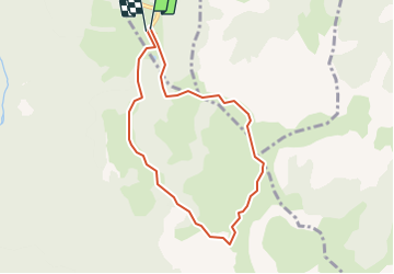

Length
7.8 km

Max alt
1955 m

Uphill gradient
274 m
Km-Effort
11.4 km

Min alt
1723 m

Downhill gradient
273 m
Boucle
Yes
Creation date :
2019-01-15 16:12:03.488
Updated on :
2019-01-15 16:12:03.488
10m
Difficulty : Unknown

FREE GPS app for hiking
 SityTrail
IGN / Geographical institutes
SityTrail Plus
The world is yours!
About
Trail Other activity of 7.8 km to be discovered at Occitania, Ariège, Albiès. This trail is proposed by randodan.
Positioning
Country:
France
Region :
Occitania
Department/Province :
Ariège
Municipality :
Albiès
Location:
Unknown
Start:(Dec)
Start:(UTM)
392752 ; 4731209 (31T) N.
Comments