


180914-PlateauBeille

randodan
User
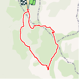

Length
8.7 km

Max alt
1955 m

Uphill gradient
279 m
Km-Effort
12.4 km

Min alt
1723 m

Downhill gradient
280 m
Boucle
Yes
Creation date :
2019-01-15 16:15:14.498
Updated on :
2019-01-15 16:15:14.498
4h55
Difficulty : Unknown

FREE GPS app for hiking
 SityTrail
IGN / Geographical institutes
SityTrail Plus
The world is yours!
About
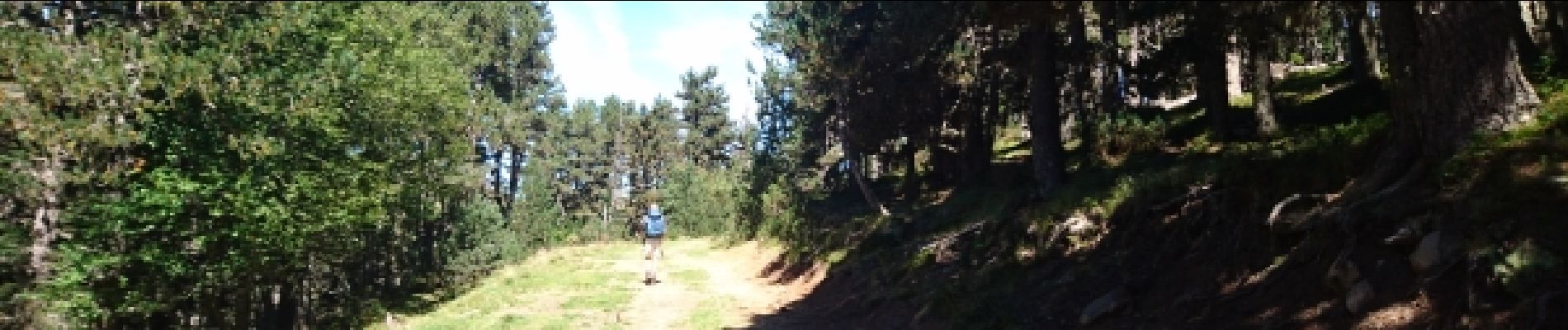
Trail Walking of 8.7 km to be discovered at Occitania, Ariège, Albiès. This trail is proposed by randodan.
Photos


24 photos in total. Please click on a photo to see them all in the gallery.
Positioning
Country:
France
Region :
Occitania
Department/Province :
Ariège
Municipality :
Albiès
Location:
Unknown
Start:(Dec)
Start:(UTM)
392840 ; 4731108 (31T) N.
Comments