


16.09.2018 les 4 Lacs

delm
User
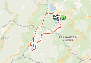

Length
14.7 km

Max alt
1304 m

Uphill gradient
581 m
Km-Effort
22 km

Min alt
952 m

Downhill gradient
597 m
Boucle
Yes
Creation date :
2019-01-15 16:21:50.432
Updated on :
2019-01-15 16:21:50.432
4h24
Difficulty : Difficult

FREE GPS app for hiking
 SityTrail
IGN / Geographical institutes
SityTrail Plus
The world is yours!
About
Trail Walking of 14.7 km to be discovered at Grand Est, Haut-Rhin, Orbey. This trail is proposed by delm.
Description
Magnifique randonnée avec de belles vues quelques montées et descentes assez raides surtout la montée du lac noir au Forlet et le descente du lac blanc au lac noir
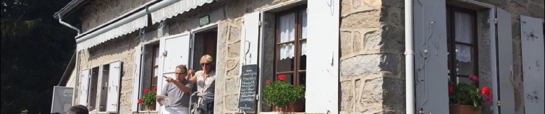
Photos

Positioning
Country:
France
Region :
Grand Est
Department/Province :
Haut-Rhin
Municipality :
Orbey
Location:
Unknown
Start:(Dec)
Start:(UTM)
358679 ; 5330505 (32U) N.
Comments