


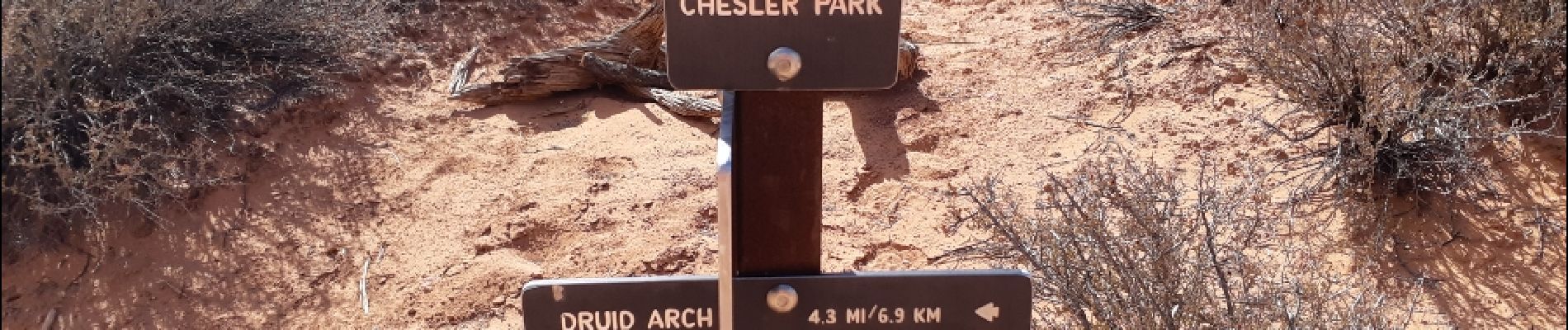
chesler park via joint trail

phi14
User


Length
18.3 km

Max alt
1745 m

Uphill gradient
525 m
Km-Effort
25 km

Min alt
1572 m

Downhill gradient
531 m
Boucle
Yes
Creation date :
2019-01-15 16:48:23.695
Updated on :
2019-01-15 16:48:23.695
6h39
Difficulty : Difficult

FREE GPS app for hiking
 SityTrail
IGN / Geographical institutes
SityTrail World
The world is yours!
About
Trail Walking of 18.3 km to be discovered at Utah, San Juan County. This trail is proposed by phi14.
Description
Randonnée extraordinaire au coeur des Needles.
A faire dans le sens anti-horaire.Moins difficile.
Ne pas la faire par grosse chaleur.
Photos


Positioning
Country:
United States
Region :
Utah
Department/Province :
San Juan County
Municipality :
Soda Spring
Location:
Unknown
Start:(Dec)
Start:(UTM)
602758 ; 4222163 (12S) N.
Comments
Trails nearby