


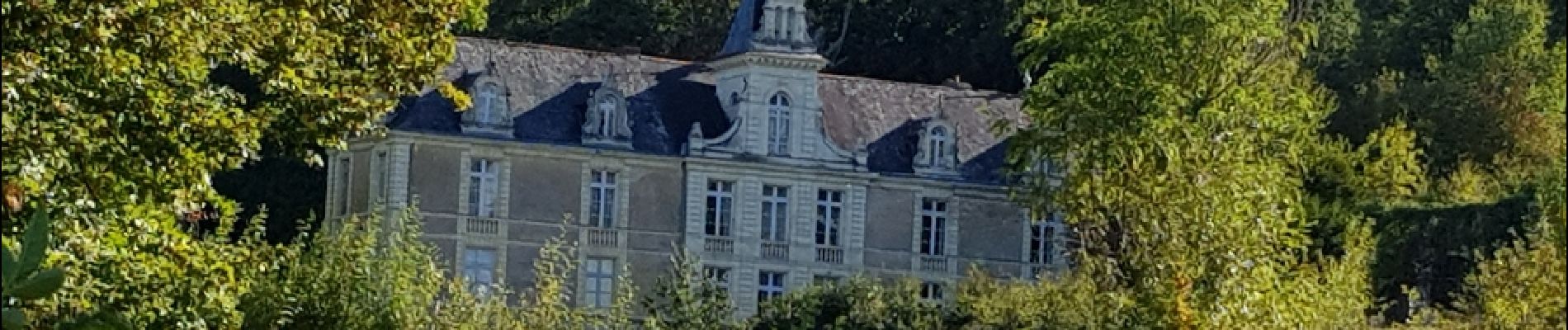
le Mesnil en vallet

bellicaud
User
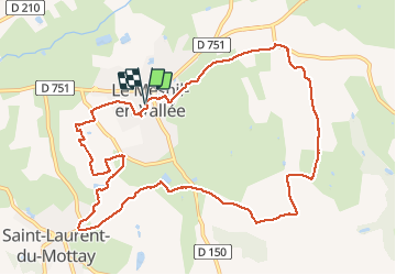

Length
11.6 km

Max alt
84 m

Uphill gradient
161 m
Km-Effort
13.8 km

Min alt
23 m

Downhill gradient
165 m
Boucle
Yes
Creation date :
2019-01-15 16:49:13.751
Updated on :
2019-01-15 16:49:13.751
3h35
Difficulty : Medium

FREE GPS app for hiking
 SityTrail
IGN / Geographical institutes
SityTrail Plus
The world is yours!
About
Trail Walking of 11.6 km to be discovered at Pays de la Loire, Maine-et-Loire, Mauges-sur-Loire. This trail is proposed by bellicaud.
Photos


Positioning
Country:
France
Region :
Pays de la Loire
Department/Province :
Maine-et-Loire
Municipality :
Mauges-sur-Loire
Location:
Unknown
Start:(Dec)
Start:(UTM)
655845 ; 5247792 (30T) N.
Comments