


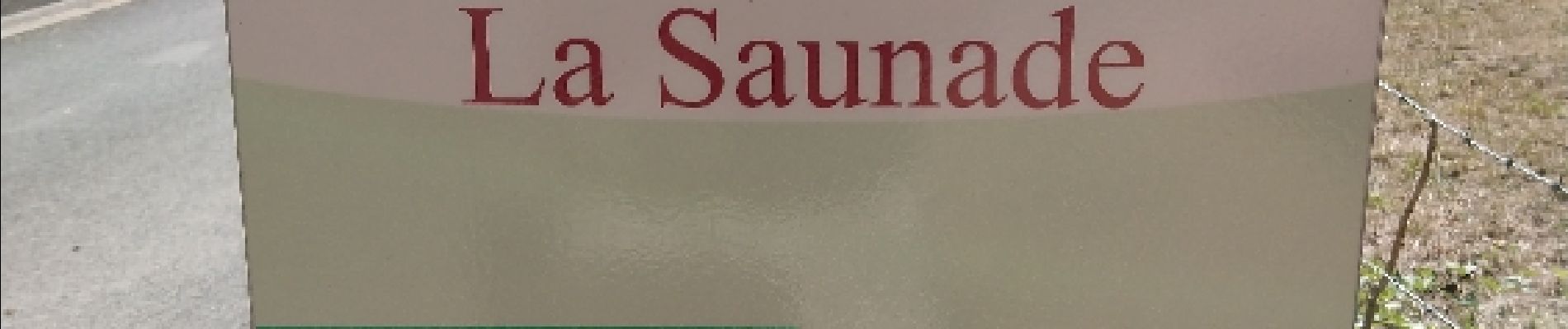
La Saunade

Gegetop
User
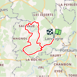

Length
14 km

Max alt
715 m

Uphill gradient
299 m
Km-Effort
18 km

Min alt
557 m

Downhill gradient
299 m
Boucle
Yes
Creation date :
2019-01-15 16:51:16.026
Updated on :
2019-01-15 16:51:16.026
3h12
Difficulty : Easy

FREE GPS app for hiking
 SityTrail
IGN / Geographical institutes
SityTrail Plus
The world is yours!
About
Trail Nordic walking of 14 km to be discovered at Auvergne-Rhône-Alpes, Puy-de-Dôme, Landogne. This trail is proposed by Gegetop.
Description
La Saunade est un très beau ruisseau et le nom d'un petit lieu dit.
Photos


Positioning
Country:
France
Region :
Auvergne-Rhône-Alpes
Department/Province :
Puy-de-Dôme
Municipality :
Landogne
Location:
Unknown
Start:(Dec)
Start:(UTM)
473374 ; 5080492 (31T) N.
Comments