


esneux -angleur

albert318
User
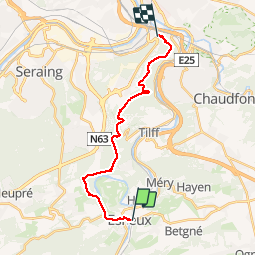

Length
16.1 km

Max alt
269 m

Uphill gradient
401 m
Km-Effort
22 km

Min alt
73 m

Downhill gradient
417 m
Boucle
No
Creation date :
2019-01-15 16:56:03.848
Updated on :
2019-01-15 16:56:03.848
4h20
Difficulty : Easy

FREE GPS app for hiking
 SityTrail
IGN / Geographical institutes
SityTrail Plus
The world is yours!
About
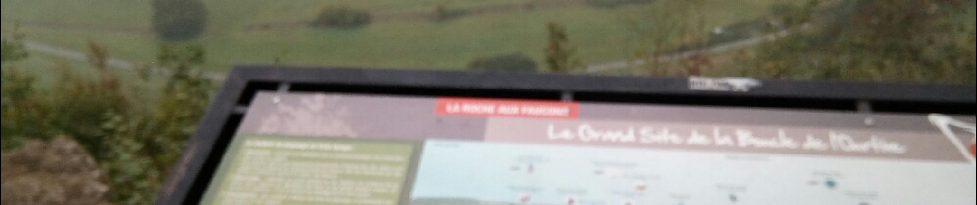
Trail Walking of 16.1 km to be discovered at Wallonia, Liège, Esneux. This trail is proposed by albert318.
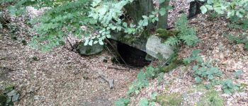
Photos


Positioning
Country:
Belgium
Region :
Wallonia
Department/Province :
Liège
Municipality :
Esneux
Location:
Esneux
Start:(Dec)
Start:(UTM)
682309 ; 5600887 (31U) N.
Comments