


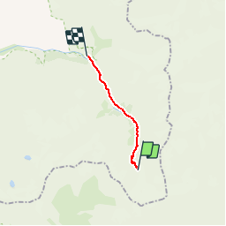

9.4 km | 21 km-effort


User


FREE GPS app for hiking
 SityTrail
IGN / Geographical institutes
SityTrail World
The world is yours!
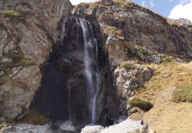
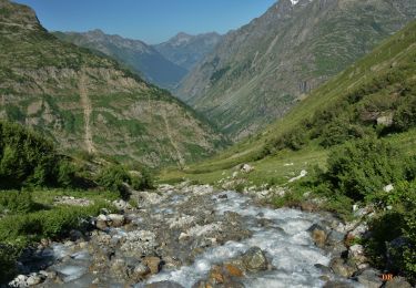
Trail Walking of 9.9 km to be discovered at Auvergne-Rhône-Alpes, Isère, Saint-Christophe-en-Oisans. This trail is proposed by tracegps.
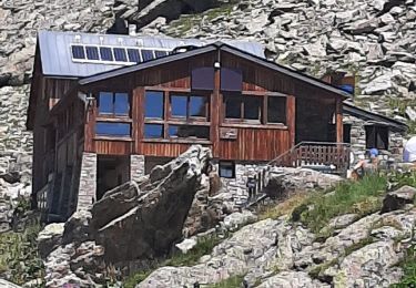
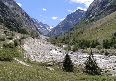
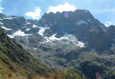
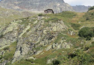
Du Refuge de la Pilatte, redescendre sur la Bérarde. Vous pouvez : -soit repasser la passerelle quand vous êtes à la rivière. -soit vous ne passez pas la passerelle et vous prenez le sentier juste en face (voir carte ign). Attention, car de ce côté, c'est un peu plus long et plus dur, voir même quelques névés.


Walking
Walking
On foot
On foot
On foot
Walking
Walking
Walking
Walking
Très bon itinéraire, mais la distance est plus proche de 12 km.