


14.8 km | 18.9 km-effort


User


FREE GPS app for hiking
 SityTrail
IGN / Geographical institutes
SityTrail World
The world is yours!
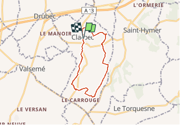
Trail Mountain bike of 10 km to be discovered at Normandy, Calvados, Clarbec. This trail is proposed by tracegps.
Un petit parcours de course type sprint qui tourne autour de Clarbec, bon dénivelé et passage à gué. Beaucoup d'autres possibilités de parcours, voir les circuit FFCT balisés.
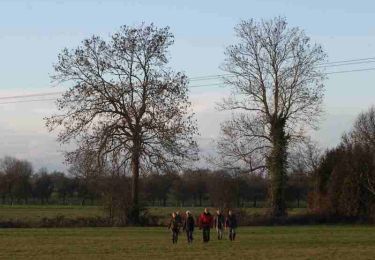
Walking

Walking
Walking
Walking
Walking
Walking
Walking
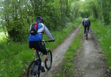
Mountain bike

Walking