


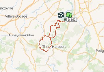
Rando VTT Mutrecy 2010 45klm

tracegps
User


3h15
Difficulty : Difficult

FREE GPS app for hiking
 SityTrail
IGN / Geographical institutes
SityTrail Plus
The world is yours!
About
Trail Mountain bike of 43 km to be discovered at Normandy, Calvados, Mutrécy. This trail is proposed by tracegps.
Description
Parcours de la rando de Mutrecy 2010 de septembre. A peu de chose prêt la même boucle que l'année dernière mais à l'envers. Si la rando de 2009 était difficile celle ci l'est bien plus!!! Pas de répit et grosses montés en perspective. Cette rando est difficile mais est sans doute la meilleure autour de Caen.
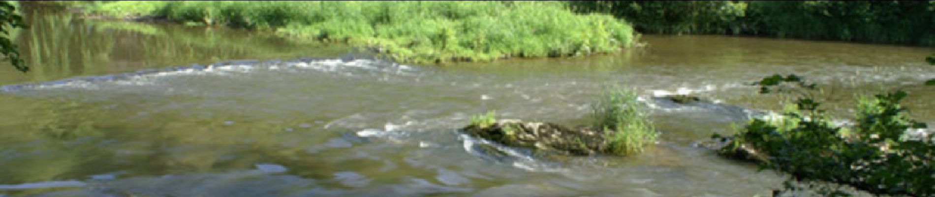
Photos

Positioning
Comments