Vallée de l'Oudon

phi14
User
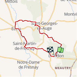

Length
12.9 km

Max alt
204 m

Uphill gradient
262 m
Km-Effort
16.4 km

Min alt
47 m

Downhill gradient
267 m
Boucle
Yes
Creation date :
2019-01-15 17:55:46.766
Updated on :
2019-01-15 17:55:46.766
3h11
Difficulty : Easy

FREE GPS app for hiking
 SityTrail
IGN / Geographical institutes
SityTrail Plus
The world is yours!
About
Trail Walking of 12.9 km to be discovered at Normandy, Calvados, Saint-Pierre-en-Auge. This trail is proposed by phi14.
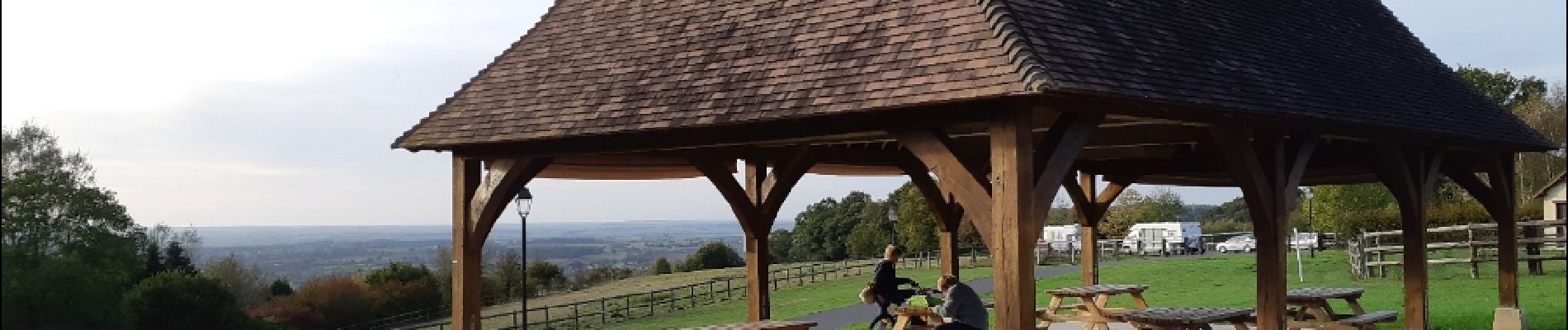
Photos


Positioning
Country:
France
Region :
Normandy
Department/Province :
Calvados
Municipality :
Saint-Pierre-en-Auge
Location:
Unknown
Start:(Dec)
Start:(UTM)
285912 ; 5427987 (31U) N.
Comments