


Sommet de Calern

domi06
User
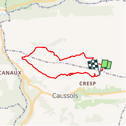

Length
13.1 km

Max alt
1450 m

Uphill gradient
312 m
Km-Effort
17.3 km

Min alt
1224 m

Downhill gradient
311 m
Boucle
Yes
Creation date :
2019-01-14 17:30:22.177
Updated on :
2019-01-14 17:30:22.177
5h23
Difficulty : Easy

FREE GPS app for hiking
 SityTrail
IGN / Geographical institutes
SityTrail Plus
The world is yours!
About
Trail Walking of 13.1 km to be discovered at Provence-Alpes-Côte d'Azur, Maritime Alps, Caussols. This trail is proposed by domi06.
Description
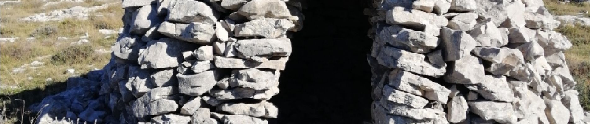
Notre Dame de Calern. Sommet de Calern. Crêtes. Descente par les coteaux, Bories bergerie
Photos


Positioning
Country:
France
Region :
Provence-Alpes-Côte d'Azur
Department/Province :
Maritime Alps
Municipality :
Caussols
Location:
Unknown
Start:(Dec)
Start:(UTM)
332880 ; 4846368 (32T) N.
Comments