Trail Walking Saint-Agrève - Chemin de Saint Régis: Saint Front - Saint Agrève - Photo

Chemin de Saint Régis: Saint Front - Saint Agrève

 tracegps
tracegps

User

© OpenStreetMap contributors
Length
Length
32 km
Max alt
Max alt
1333 m
Uphill gradient
Uphill gradient
827 m
Km-Effort
Km-Effort  
42 km
Min alt
Min alt
999 m
Downhill gradient
Downhill gradient
568 m
Boucle
Boucle
No
Creation date :
2014-12-10 00:00:00.0
Updated on :
2014-12-10 00:00:00.0

(0 Reviews)

Walking
Walking
9h00
Difficulty : Difficult

Scan this QR Code to open this trail in the SityTrail application

FREE GPS app for hiking

Logo SityTrail SityTrail

IGN / Geographical institutes

Download SityTrail from the App Store Download SityTrail from Google Play

Logo SityTrail SityTrail World

The world is yours!

Download SityTrail from the App Store Download SityTrail from Google Play Download SityTrail on Huawei AppGallery

About

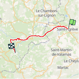
Trail Walking of 32 km to be discovered at Auvergne-Rhône-Alpes, Ardèche, Saint-Agrève. This trail is proposed by tracegps.

Description

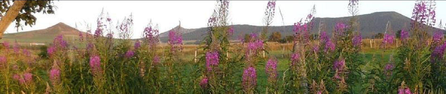
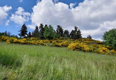
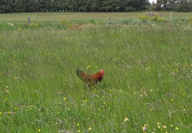
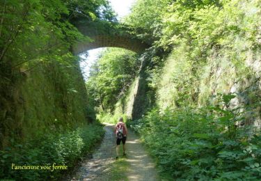
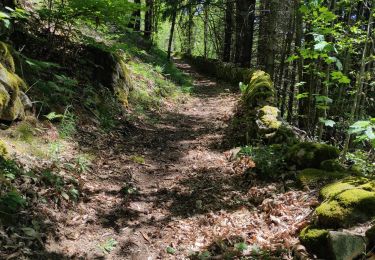
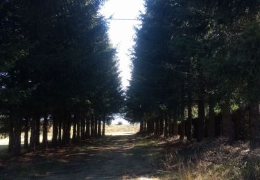
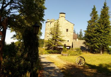
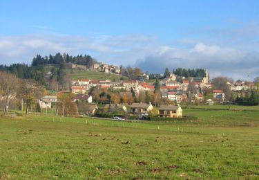
Étape un peu longue, mais sans grande dénivelée. Le parcours est agréable et varié. Le soleil est aujourd’hui encore de la partie. Saint-Front se voit de loin. C’est un ravissant petit village, agrippé au flanc de la montagne, exhibant le clocher de son église romane. Le chemin le traverse de bout en bout et le quitte par une draille qui fait grimper le marcheur jusqu’aux pâturages. Il slalome ensuite sur les hauteurs, frôle la lisière d’un bois avant de descendre au lac de cratère de Saint-Front. Petit lac tout bleu, tout rond qui frissonne sous le vent… La suite du récit est ICI.

Elevation profile

Photos

Positioning

Country:
France
Region :
Auvergne-Rhône-Alpes
Department/Province :
Ardèche
Municipality :
Saint-Agrève
Location:
Unknown
Start:(UTM)
610153 ; 4984950 (31T) N.

Trails nearby

Trail Walking Saint-Jeure-d'Andaure - En pays d'Andaure - Photo
Walking
tracegps

Walking

Medium
(1)
Saint-Jeure-d'Andaure, Auvergne-Rhône-Alpes, Ardèche, France
6.8 km | 10.1 km-effort
2h 30min
Yes
Trail Walking Saint-Agrève - La chaux par les Sagnoles - Photo
Walking
mallovon

Walking

Medium
(1)
Saint-Agrève, Auvergne-Rhône-Alpes, Ardèche, France
6.4 km | 8.9 km-effort
2h 17min
Yes
Trail Walking Saint-Agrève - Le serre par le col de brun - Photo
Walking
mallovon

Walking

Easy
Saint-Agrève, Auvergne-Rhône-Alpes, Ardèche, France
4.1 km | 5.1 km-effort
1h 20min
Yes
Trail Mountain bike Saint-Agrève - Château de Flossac - Saint Agrève - Photo
Mountain bike
tracegps

Mountain bike

Medium
Saint-Agrève, Auvergne-Rhône-Alpes, Ardèche, France
14.5 km | 19.1 km-effort
2h 0min
Yes
Trail Walking Saint-Agrève - Château de Flossac - Saint Agrève - Photo
Walking
tracegps

Walking

Medium
Saint-Agrève, Auvergne-Rhône-Alpes, Ardèche, France
14.5 km | 19.1 km-effort
4h 0min
Yes
Trail Walking Saint-Julien-d'Intres - dolce via autour d'intres - Photo
Walking
Domdomii

Walking

Medium
Saint-Julien-d'Intres, Auvergne-Rhône-Alpes, Ardèche, France
5.9 km | 9 km-effort
1h 47min
Yes
Trail Walking Devesset - Tour du lac Devesset - Photo
Walking
DoChou

Walking

Very easy
Devesset, Auvergne-Rhône-Alpes, Ardèche, France
4.9 km | 5.8 km-effort
1h 18min
Yes
Trail Walking Devesset - le grail - Photo
Walking
berlan2

Walking

Very easy
Devesset, Auvergne-Rhône-Alpes, Ardèche, France
12 km | 0 m-effort
4h 2min
Yes
Trail Walking Saint-Agrève - La Galoche 2013 - Saint Agrève - Photo
Walking
tracegps

Walking

Medium
Saint-Agrève, Auvergne-Rhône-Alpes, Ardèche, France
19.5 km | 29 km-effort
5h 0min
Yes


Close
My subscriptions