


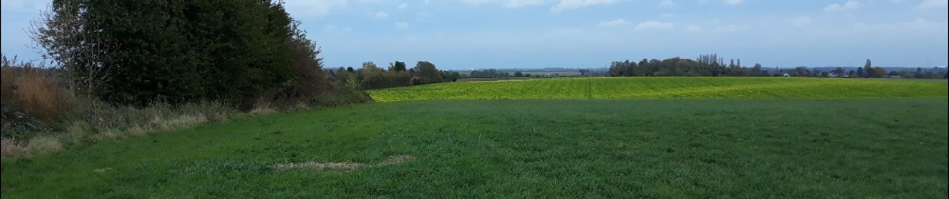
Autour de Buzet par Monts et par Vaux

mvrydagh
User
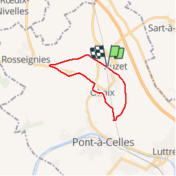

Length
8.3 km

Max alt
160 m

Uphill gradient
58 m
Km-Effort
9.1 km

Min alt
129 m

Downhill gradient
56 m
Boucle
Yes
Creation date :
2019-01-15 18:05:31.265
Updated on :
2019-01-15 18:05:31.265
1h40
Difficulty : Easy

FREE GPS app for hiking
 SityTrail
IGN / Geographical institutes
SityTrail Plus
The world is yours!
About
Trail Walking of 8.3 km to be discovered at Wallonia, Hainaut, Pont-à-Celles. This trail is proposed by mvrydagh.
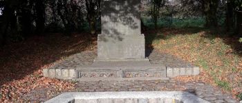
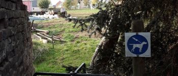
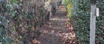
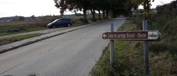
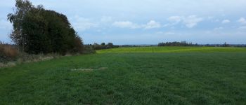
Photos


Positioning
Country:
Belgium
Region :
Wallonia
Department/Province :
Hainaut
Municipality :
Pont-à-Celles
Location:
Obaix
Start:(Dec)
Start:(UTM)
596653 ; 5599090 (31U) N.
Comments