


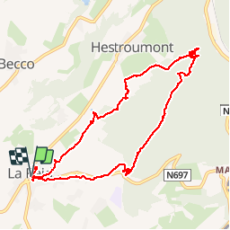
Depuis l'eglise de La Reid

henriantoine
User

Length
9.5 km

Max alt
380 m

Uphill gradient
185 m
Km-Effort
12 km

Min alt
266 m

Downhill gradient
183 m
Boucle
Yes
Creation date :
2019-01-15 18:06:09.866
Updated on :
2019-01-15 18:06:09.866
2h49
Difficulty : Easy

FREE GPS app for hiking
 SityTrail
IGN / Geographical institutes
SityTrail Plus
The world is yours!
About
Trail Walking of 9.5 km to be discovered at Wallonia, Liège, Theux. This trail is proposed by henriantoine.
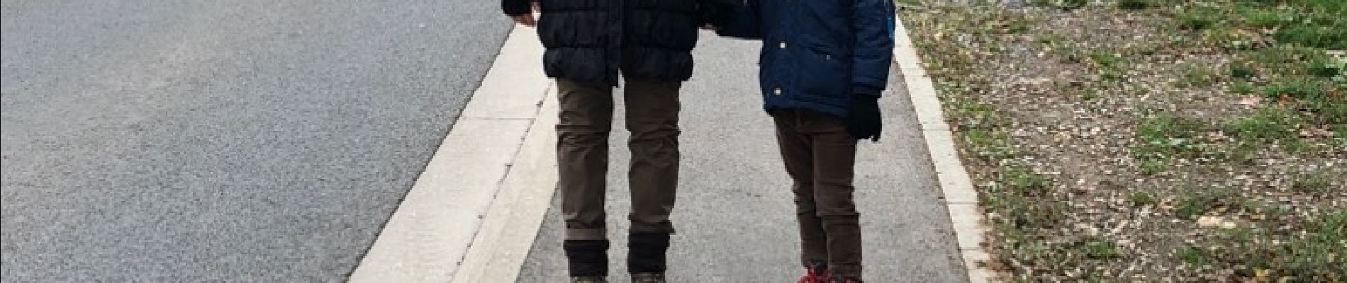
Photos


Positioning
Country:
Belgium
Region :
Wallonia
Department/Province :
Liège
Municipality :
Theux
Location:
La Reid
Start:(Dec)
Start:(UTM)
697967 ; 5596749 (31U) N.
Comments
disons 6.5 km et non 9.5 et 1h20