


vol ekin

norihtom
User

Length
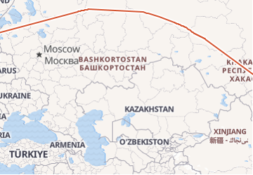
8210 km
Boucle
No
Creation date :
2019-01-15 18:18:34.285
Updated on :
2019-01-15 18:18:34.285
4h06
Difficulty : Unknown

FREE GPS app for hiking
 SityTrail
IGN / Geographical institutes
SityTrail Plus
The world is yours!
About
Trail Other activity of 8210 km to be discovered at Hauts-de-France, Oise, Creil. This trail is proposed by norihtom.
Photos

Positioning
Country:
France
Region :
Hauts-de-France
Department/Province :
Oise
Municipality :
Creil
Location:
Unknown
Start:(Dec)
Start:(UTM)
460835 ; 5454835 (31U) N.
Comments