


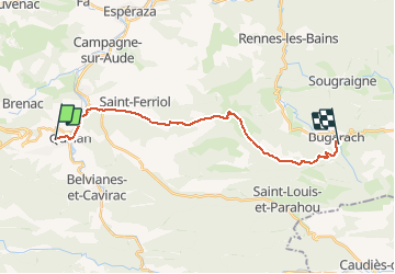
Sentier Cathare - de Quillan à Bugarach

tracegps
User


6h30
Difficulty : Difficult

FREE GPS app for hiking
 SityTrail
IGN / Geographical institutes
SityTrail Plus
The world is yours!
About
Trail Walking of 19.8 km to be discovered at Occitania, Aude, Quillan. This trail is proposed by tracegps.
Description
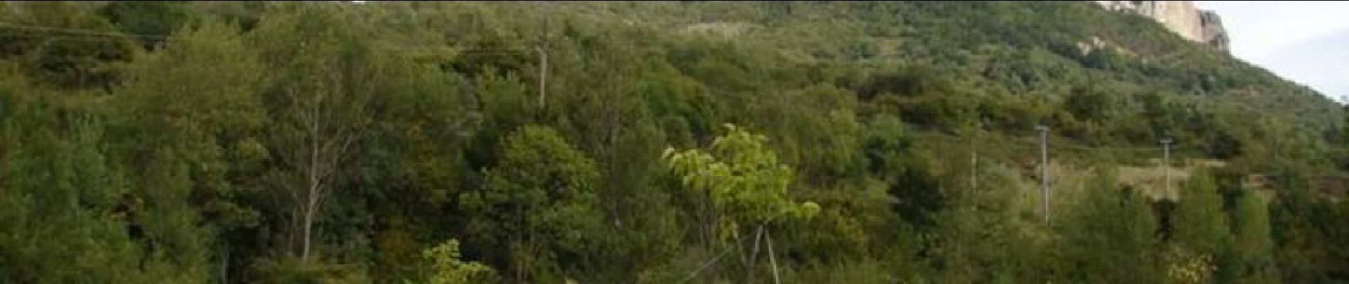
Étape 5- 20 km- 600m dénivelé. Nous partons de Quillan par la route sur une variante personnelle qui facilite l'étape pour la première partie. Étant du pays je fais parfois ce genre de variante qui sont aussi agréables. Remontée par un beau sentier sur le Bézu et puis nous repartirons par le sentier Cathare vers Bugarach en passant au pied du château du Bézu (ruines). Le sentier plonge ensuite vers le Village de Bugarach avec une belle vue sur le "Pech" Pic.
Photos


Points of interest


Positioning
Comments