


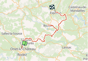
Onet - Espalion via Roquelaure

tracegps
User


8h10
Difficulty : Difficult

FREE GPS app for hiking
 SityTrail
IGN / Geographical institutes
SityTrail Plus
The world is yours!
About
Trail Mountain bike of 60 km to be discovered at Occitania, Aveyron, Onet-le-Château. This trail is proposed by tracegps.
Description
2 ième édition avec un passage par Roquelaure. Nous vous conseillons l étape à Bozouls pour vous ravitailler car le village suivant et St Come D'Olts aucune possibilité avant. La balade peut s'arreter à St Come D'Olts car suite a 4 crevaisons nous somme passés par la route pour arriver à Espalion. Bonne balade à vous.
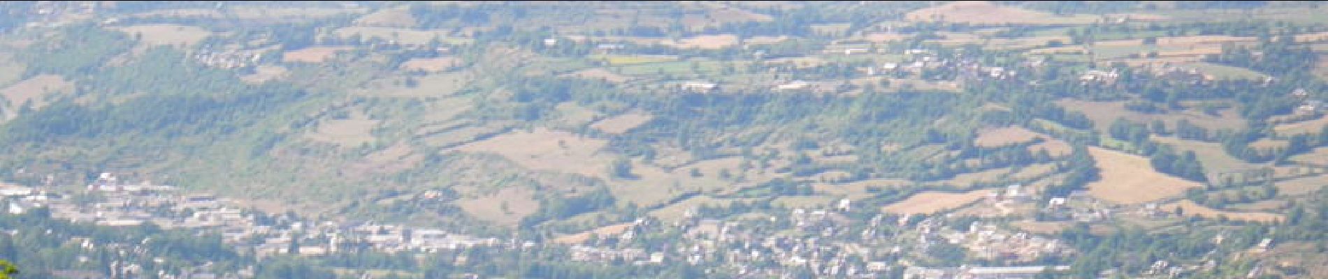
Photos


Positioning
Comments