


Randonnée dans le Parc National du Mercantour - étape 4/5

tracegps
User
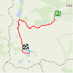

Length
10.8 km

Max alt
2570 m

Uphill gradient
775 m
Km-Effort
21 km

Min alt
2014 m

Downhill gradient
673 m
Boucle
No
Creation date :
2014-12-10 00:00:00.0
Updated on :
2014-12-10 00:00:00.0
4h00
Difficulty : Medium

FREE GPS app for hiking
 SityTrail
IGN / Geographical institutes
SityTrail Plus
The world is yours!
About
Trail Walking of 10.8 km to be discovered at Provence-Alpes-Côte d'Azur, Maritime Alps, Tende. This trail is proposed by tracegps.
Description
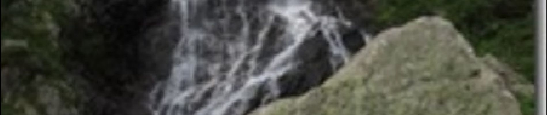
Suite de la Randonnée dans le Parc National du Mercantour, du refuge de Fontanalba au refuge des Merveilles.
Photos


Positioning
Country:
France
Region :
Provence-Alpes-Côte d'Azur
Department/Province :
Maritime Alps
Municipality :
Tende
Location:
Unknown
Start:(Dec)
Start:(UTM)
378370 ; 4882568 (32T) N.
Comments