


17.7 km | 18.7 km-effort

User


FREE GPS app for hiking
 SityTrail
IGN / Geographical institutes
SityTrail World
The world is yours!
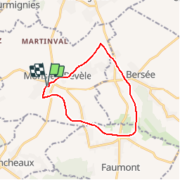
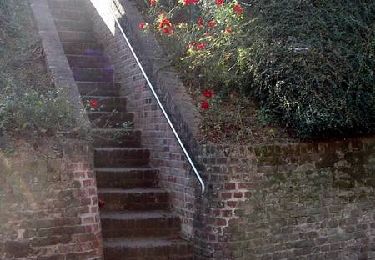
Trail Walking of 10.5 km to be discovered at Hauts-de-France, Nord, Mons-en-Pévèle. This trail is proposed by tracegps.
Circuit proposé par le Syndicat d'Initiative de Mons-en-Pévèle. Départ de la Cense Abbatiale de Mon-en-Pévèle. « Le P.P. ; le train des Béghinettes ! » mais oui, c'est le fameux train pittoresque qui reliait Pont-à-Marcq à Pont-de-la-Deûle (29 km). La voie fut inaugurée en septembre 1896. Ce train à voie unique était emprunté quotidiennement par des jeunes femmes qui travaillaient à l'usine sucrière Béghin à Thumeries. Le 17 février 1948, il faucha la vie de 24 Béghinettes percutant un train de marchandises. L'association « les Amis de la PP », créée en 2003, retrace le devoir de mémoire envers les victimes disparues. Retrouvez le descriptif du parcours sur le site du Syndicat d'Initiative. Vous pouvez aussi vous procurer gratuitement la brochure aux points suivants : Mairie, rue St Jean, aux horaires habituels Médiathèque, Place du village Mardi 16 h 18 h Mercredi : 10 h 12 h - 13 h 30 17 h 30 Vendredi 16 h 19 h samedi 14 h 17 h. Estaminet : chez Flavien centre du village Restaurant italien : Face à la mairie. Prochainement : A l'antenne de l'office du tourisme. Centre du village (ancienne poste) Renseignements : 06 48 29 72 21 Ce circuit a été numérisé par les randonneurs du CODEPEM.


Equestrian
Walking
Walking
Walking

Walking
Walking

Nordic walking
Walking
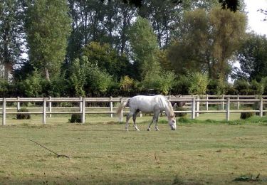
Equestrian