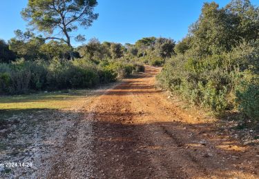
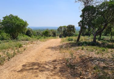
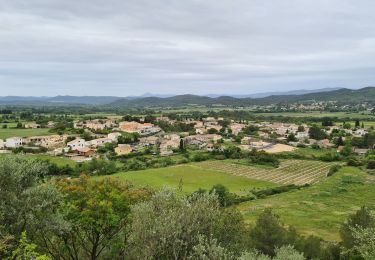
Trail Walking Montmirat - Montmirat - Peyron - Photo

Montmirat - Peyron

© OpenStreetMap contributors
Length
Length
8.8 km
Max alt
Max alt
241 m
Uphill gradient
Uphill gradient
216 m
Km-Effort
Km-Effort  
11.7 km
Min alt
Min alt
87 m
Downhill gradient
Downhill gradient
216 m
Boucle
Boucle
Yes
Creation date :
2019-01-15 19:24:14.52
Updated on :
2019-01-15 19:24:14.52

(0 Reviews)

Walking
Walking
2h29
Difficulty : Unknown

Scan this QR Code to open this trail in the SityTrail application

FREE GPS app for hiking

Logo SityTrail SityTrail

IGN / Geographical institutes

Download SityTrail from the App Store Download SityTrail from Google Play

Logo SityTrail SityTrail World

The world is yours!

Download SityTrail from the App Store Download SityTrail from Google Play Download SityTrail on Huawei AppGallery

About

Trail Walking of 8.8 km to be discovered at Occitania, Gard, Montmirat. This trail is proposed by jeanpaul30129.

Elevation profile

Points of interest

Point of interest Montmirat - Mairie de Montmirat - Photo
jeanpaul30129
Point of interest Montmirat - Carrefour du pont de Prades - Photo
jeanpaul30129
Point of interest Montmirat - Au panneau, à gauche direction col de Majourdan - Photo
jeanpaul30129
Point of interest Montmirat - Début du sentier du berger - Photo
jeanpaul30129
Point of interest Montmirat - Au rocher obstruant le chemin,  à droite - Photo
jeanpaul30129
Point of interest Moulézan - À l'embranchement, à droite - Photo
jeanpaul30129
Point of interest Moulézan - Col de Majourdan - Photo
jeanpaul30129
MOULÉZAN 
Point of interest Montmirat - Accès à la Chapelle de Jouffre - Photo
jeanpaul30129
Point of interest Montmirat - Départ du sentier herbeux de la Chapelle de Jouffe - Photo
jeanpaul30129
Point of interest Montmirat - Prieuré de Jouffre - Photo
jeanpaul30129
Point of interest Montmirat - Le Castellas - Photo
jeanpaul30129
MONTMIRAT 
Point of interest Montmirat - Le Castellas - Photo
jeanpaul30129
MONTMIRAT 
Point of interest Montmirat - À gauche direction Montmirat - Photo
jeanpaul30129
Point of interest Montmirat - Mairie de Montmirat - Photo
jeanpaul30129

Positioning

Country:
France
Region :
Occitania
Department/Province :
Gard
Municipality :
Montmirat
Location:
Unknown
Start:(UTM)
588617 ; 4861333 (31T) N.

Trails nearby

Trail Walking Orthoux-Sérignac-Quilhan - Sérignac - les Mazes - Bragassargues - Photo
Walking
GUIDE
randotines

Walking

Easy
(1)
Orthoux-Sérignac-Quilhan, Occitania, Gard, France
14.2 km | 18.1 km-effort
3h 57min
Yes
Trail Walking Montmirat - Montmirat-les grottes - Photo
Walking
v.rabot

Walking

Medium
Montmirat, Occitania, Gard, France
11.8 km | 15.4 km-effort
3h 30min
Yes
Trail Walking Combas - Combas - Photo
Walking
guyzinz

Walking

Very difficult
Combas, Occitania, Gard, France
16.6 km | 22 km-effort
6h 8min
Yes
Trail Walking Montmirat - montmirat-Chapelle-grottes - Photo
Walking
v.rabot

Walking

Very difficult
Montmirat, Occitania, Gard, France
19.8 km | 25 km-effort
6h 8min
Yes
Trail On foot Montmirat - Montmirat-2 - Photo
On foot
v.rabot

On foot

Medium
Montmirat, Occitania, Gard, France
18.2 km | 24 km-effort
5h 21min
Yes
Trail Walking Vic-le-Fesq - Vic le Fesc Nd de prime Combe - Photo
Walking
daniel34

Walking

Medium
Vic-le-Fesq, Occitania, Gard, France
12.1 km | 15 km-effort
3h 54min
Yes
Trail Walking Vic-le-Fesq - 30 VIC-LE-FESQ - le VIDOURLE  - LECQUES - FONTANES - ND de PRIME COMBE  - Photo
Walking
jeff66

Walking

Medium
Vic-le-Fesq, Occitania, Gard, France
15 km | 17.9 km-effort
2h 41min
Yes
Trail Walking Vic-le-Fesq - Notre Dame de Prime Combe - Vic le Fesq - Photo
Walking
tracegps

Walking

Medium
Vic-le-Fesq, Occitania, Gard, France
11.8 km | 14.7 km-effort
3h 0min
Yes
Trail Walking Montmirat - Montmirat - Photo
Walking
GUIDE
randotines

Walking

Medium
Montmirat, Occitania, Gard, France
12.1 km | 15.9 km-effort
3h 24min
Yes


Close
My subscriptions