


Puy de Tourrettes St Barnabé

domi06
User

Length
15.3 km

Max alt
1263 m

Uphill gradient
720 m
Km-Effort
25 km

Min alt
618 m

Downhill gradient
719 m
Boucle
Yes
Creation date :
2019-01-14 17:30:19.186
Updated on :
2019-01-14 17:30:19.186
5h06
Difficulty : Medium

FREE GPS app for hiking
 SityTrail
IGN / Geographical institutes
SityTrail Plus
The world is yours!
About
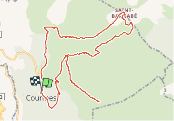
Trail Walking of 15.3 km to be discovered at Provence-Alpes-Côte d'Azur, Maritime Alps, Courmes. This trail is proposed by domi06.
Description
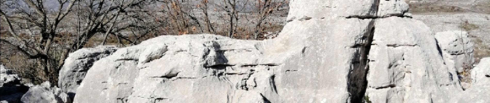
Départ Courmes.Boucle- Puy de Tourrettes- Village Négre- St Barnabé.
Photos


Positioning
Country:
France
Region :
Provence-Alpes-Côte d'Azur
Department/Province :
Maritime Alps
Municipality :
Courmes
Location:
Unknown
Start:(Dec)
Start:(UTM)
339666 ; 4845332 (32T) N.
Comments