


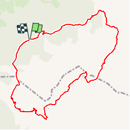

7.8 km | 12.4 km-effort

User


FREE GPS app for hiking
 SityTrail
IGN / Geographical institutes
SityTrail World
The world is yours!
Trail Walking of 11.1 km to be discovered at Auvergne-Rhône-Alpes, Savoy, Hauteluce. This trail is proposed by tracegps.
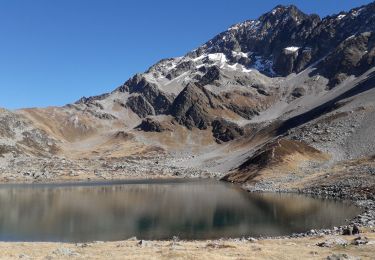
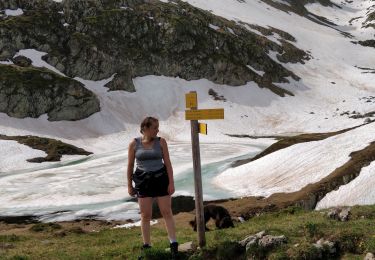
Un circuit qui débute par une piste forestière avant de grimper dans les alpages par un passage boisé, on découvre alors, petit à petit, le massif du Mont-Blanc avant d'atteindre le col du Sallestet. Un petit lac derrière la bosse, à droite du col, offre un lieu de pique-nique agréable avant de poursuivre sur le flanc de la montagne en direction d'une cabane d'alpage. C'est de là que démarre le sentier qui, par le Pas d'Outray, ramène au point de départ. Attention, il y a un court passage assez vertigineux avec vue plongeante sur Beaufort, 1500 m plus bas. L'accès au départ de la randonnée se fait par une piste forestière de 4 kms praticable en voiture mais attention aux quelques passages en mauvais état.


Walking

Walking

Walking
Walking
Touring skiing
Walking
Touring skiing
Touring skiing
Walking