


mas raynal

JEANJOSY
User
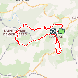

Length
20 km

Max alt
839 m

Uphill gradient
464 m
Km-Effort
26 km

Min alt
548 m

Downhill gradient
463 m
Boucle
Yes
Creation date :
2019-01-15 19:42:45.339
Updated on :
2019-01-15 19:42:45.339
5h38
Difficulty : Medium

FREE GPS app for hiking
 SityTrail
IGN / Geographical institutes
SityTrail Plus
The world is yours!
About
Trail Walking of 20 km to be discovered at Occitania, Aveyron, Cornus. This trail is proposed by JEANJOSY.
Description
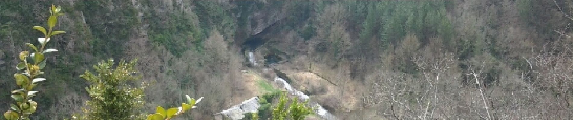
beaux avens
Photos


44 photos in total. Please click on a photo to see them all in the gallery.
Positioning
Country:
France
Region :
Occitania
Department/Province :
Aveyron
Municipality :
Cornus
Location:
Unknown
Start:(Dec)
Start:(UTM)
517563 ; 4857428 (31T) N.
Comments