


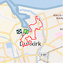
Circuit Jean Bart - Dunkerque

tracegps
User


1h30
Difficulty : Easy

FREE GPS app for hiking
 SityTrail
IGN / Geographical institutes
SityTrail Plus
The world is yours!
About
Trail Walking of 6 km to be discovered at Hauts-de-France, Nord, Dunkirk. This trail is proposed by tracegps.
Description
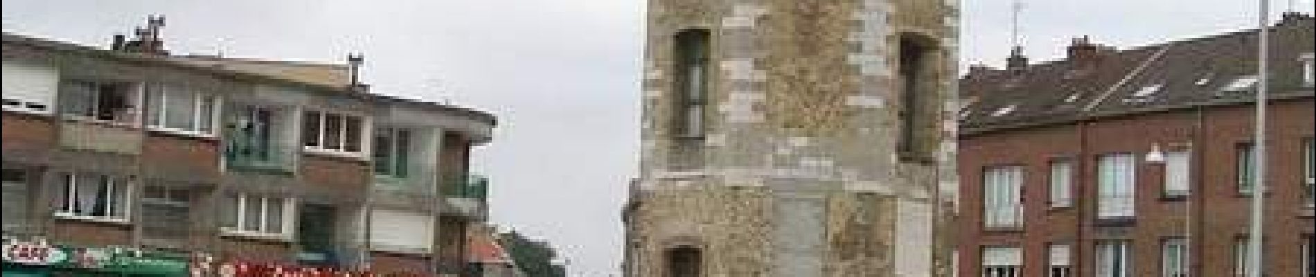
Départ devant le musée portuaire. Circuit familial, dans la cité de Jean Bart; le parcours est réalisé en ville, le long des quais ou des trottoirs. Retrouvez cette randonnée sur le site du Comité Départemental du Tourisme du Nord.
Photos


Positioning
Comments