


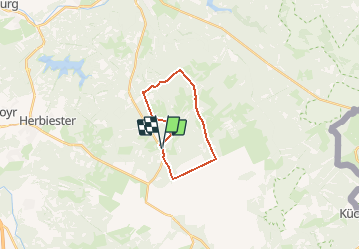
Luik - 20190106 Drossaert - Soor - Hasebusch - Pavee de Charlemagne

misph
User

Length
14.8 km

Max alt
608 m

Uphill gradient
260 m
Km-Effort
18.2 km

Min alt
402 m

Downhill gradient
258 m
Boucle
Yes
Creation date :
2019-01-15 20:34:09.573
Updated on :
2019-01-15 20:34:09.573
6h00
Difficulty : Easy

FREE GPS app for hiking
 SityTrail
IGN / Geographical institutes
SityTrail Plus
The world is yours!
About
Trail Walking of 14.8 km to be discovered at Wallonia, Liège, Baelen. This trail is proposed by misph.
Positioning
Country:
Belgium
Region :
Wallonia
Department/Province :
Liège
Municipality :
Baelen
Location:
Membach
Start:(Dec)
Start:(UTM)
291524 ; 5603755 (32U) N.
Comments