Circuit des Auger de Bousbecque

tracegps
User


Length
13.3 km

Max alt
45 m

Uphill gradient
95 m
Km-Effort
14.5 km

Min alt
3 m

Downhill gradient
95 m
Boucle
Yes
Creation date :
2014-12-10 00:00:00.0
Updated on :
2014-12-10 00:00:00.0
3h19
Difficulty : Medium

FREE GPS app for hiking
 SityTrail
IGN / Geographical institutes
SityTrail Plus
The world is yours!
About
Trail Walking of 13.3 km to be discovered at Hauts-de-France, Nord, Bousbecque. This trail is proposed by tracegps.
Description
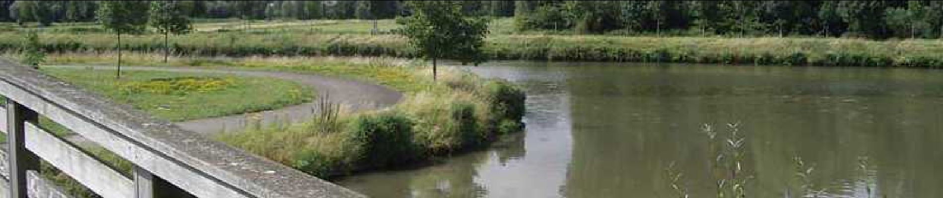
Circuit Auger de Bousbecque Départ de l’église de Bousbecque. Parcours le long de la Lys et les collines du Ferrain. Retrouvez cette randonnée sur le site du Comité Départemental du Tourisme du Nord.
Photos


Positioning
Country:
France
Region :
Hauts-de-France
Department/Province :
Nord
Municipality :
Bousbecque
Location:
Unknown
Start:(Dec)
Start:(UTM)
505534 ; 5624471 (31U) N.
Comments