


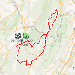

11.1 km | 17.4 km-effort

User


FREE GPS app for hiking
 SityTrail
IGN / Geographical institutes
SityTrail World
The world is yours!
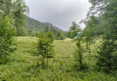
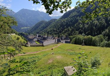
Trail Running of 82 km to be discovered at Auvergne-Rhône-Alpes, Isère, Saint-Laurent-du-Pont. This trail is proposed by tracegps.
Le 19ème Grand Duc - Tour Pédestre de Chartreuse – est une course qui se déroule chaque année sur le Massif de la Chartreuse. Cette édition a eu lieu le 29 Juin 2008. C’est une course en solo, en duo ou par équipe de 5 coureurs qui se déroule à la journée, sur 80 Km avec une dénivelée positive de 4885 m. Cette manifestation est l’occasion de faire découvrir aux participants et aux personnes qui les accompagnent, le massif de la Chartreuse. C’est aussi l’occasion de rassembler les communes du massif autour d’un projet commun qui nécessite la participation de tous (il y a environ 120 bénévoles actifs pour faire en sorte que cette manifestation soit une réussite). Description complète sur le site.


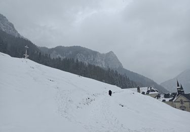
Snowshoes

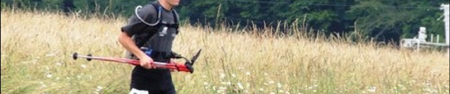
Walking

Walking

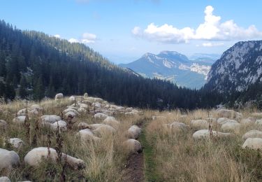
Walking
Walking
Walking
Walking
Walking
Walking