


10 km | 14.1 km-effort

User


FREE GPS app for hiking
 SityTrail
IGN / Geographical institutes
SityTrail World
The world is yours!
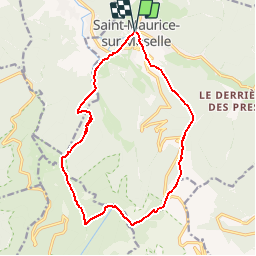
Trail Walking of 14.8 km to be discovered at Grand Est, Vosges, Saint-Maurice-sur-Moselle. This trail is proposed by tracegps.
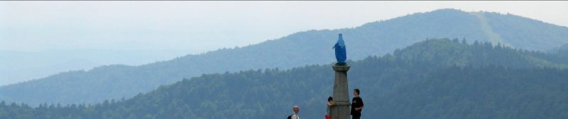
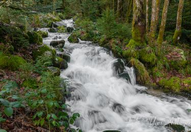
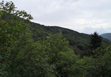
Circuit proposé par le Comité Départemental du Tourisme des Vosges et l’Office du Tourisme de St-Maurice sur Moselle. Départ : Place de l’église de Saint-Maurice. Le Ballon d’Alsace est le dernier bastion de la chaîne des Hautes-Vosges. Ce circuit vous emmènera de St-Maurice sur Moselle au sommet à 1247m. Rappel : Dans le massif Vosgien, n’oubliez pas de vous munir de la carte IGN avec le balisage du Club Vosgien. Ce circuit a été numérisé par les randonneurs du CODEPEM. Merci à Jean-Marie.
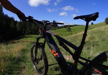
 - Photo 1")
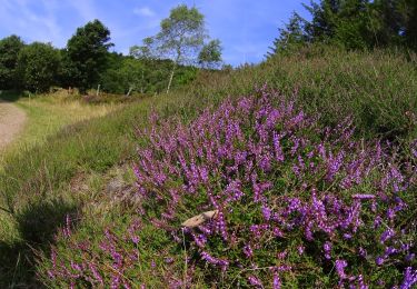
 - Photo 2")
 - Photo 3")
 - Photo 4")
 - Photo 5")
 - Photo 6")
Walking

Walking

Snowshoes
Walking

Mountain bike

Mountain bike

On foot
Mountain bike
Mountain bike