


8 mai 2018 jour 4

dudu85
User
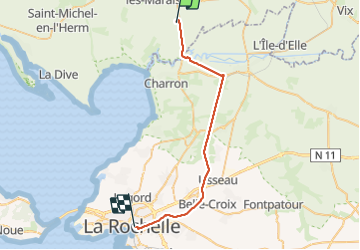

Length
33 km

Max alt
35 m

Uphill gradient
140 m
Km-Effort
35 km

Min alt
-2 m

Downhill gradient
136 m
Boucle
No
Creation date :
2019-05-06 10:49:48.859
Updated on :
2019-05-06 10:49:48.859
8h05
Difficulty : Easy

FREE GPS app for hiking
 SityTrail
IGN / Geographical institutes
SityTrail Plus
The world is yours!
About
Trail Walking of 33 km to be discovered at Pays de la Loire, Vendée, Puyravault. This trail is proposed by dudu85.
Description
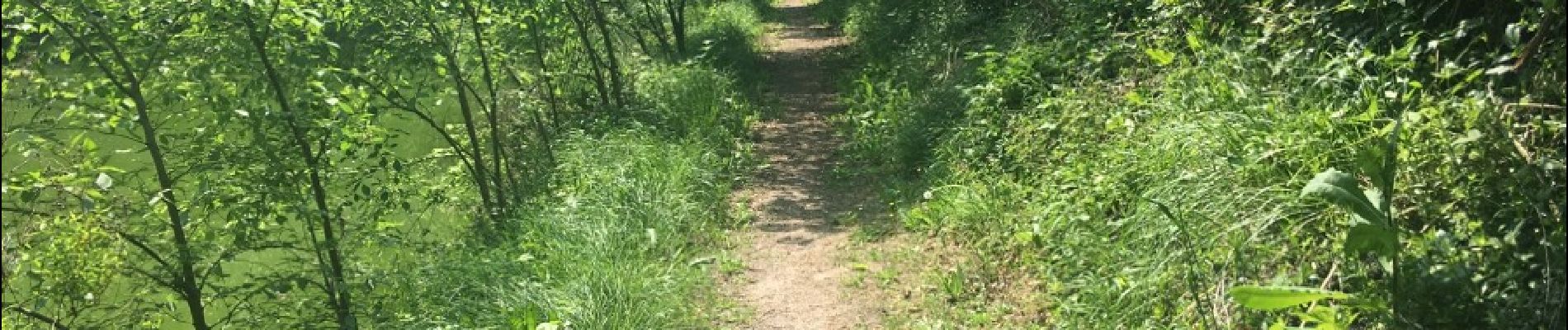
Puyravault - Canal Marans - La Rochelle
Photos


Positioning
Country:
France
Region :
Pays de la Loire
Department/Province :
Vendée
Municipality :
Puyravault
Location:
Unknown
Start:(Dec)
Start:(UTM)
646924 ; 5135129 (30T) N.
Comments