


9 mai 2018 jour 5

dudu85
User

Length
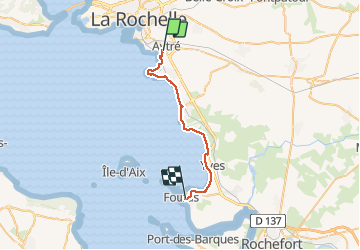
27 km

Max alt
20 m

Uphill gradient
130 m
Km-Effort
28 km

Min alt
-4 m

Downhill gradient
115 m
Boucle
No
Creation date :
2019-05-06 10:49:51.37
Updated on :
2019-05-06 10:49:51.37
6h55
Difficulty : Easy

FREE GPS app for hiking
 SityTrail
IGN / Geographical institutes
SityTrail Plus
The world is yours!
About
Trail Walking of 27 km to be discovered at New Aquitaine, Charente-Maritime, Aytré. This trail is proposed by dudu85.
Description
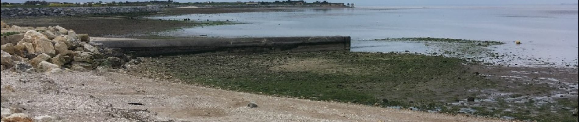
Aytré - Chatelaillon - Boucheleur - Yves - Fouras
Photos


Positioning
Country:
France
Region :
New Aquitaine
Department/Province :
Charente-Maritime
Municipality :
Aytré
Location:
Unknown
Start:(Dec)
Start:(UTM)
645358 ; 5110106 (30T) N.
Comments